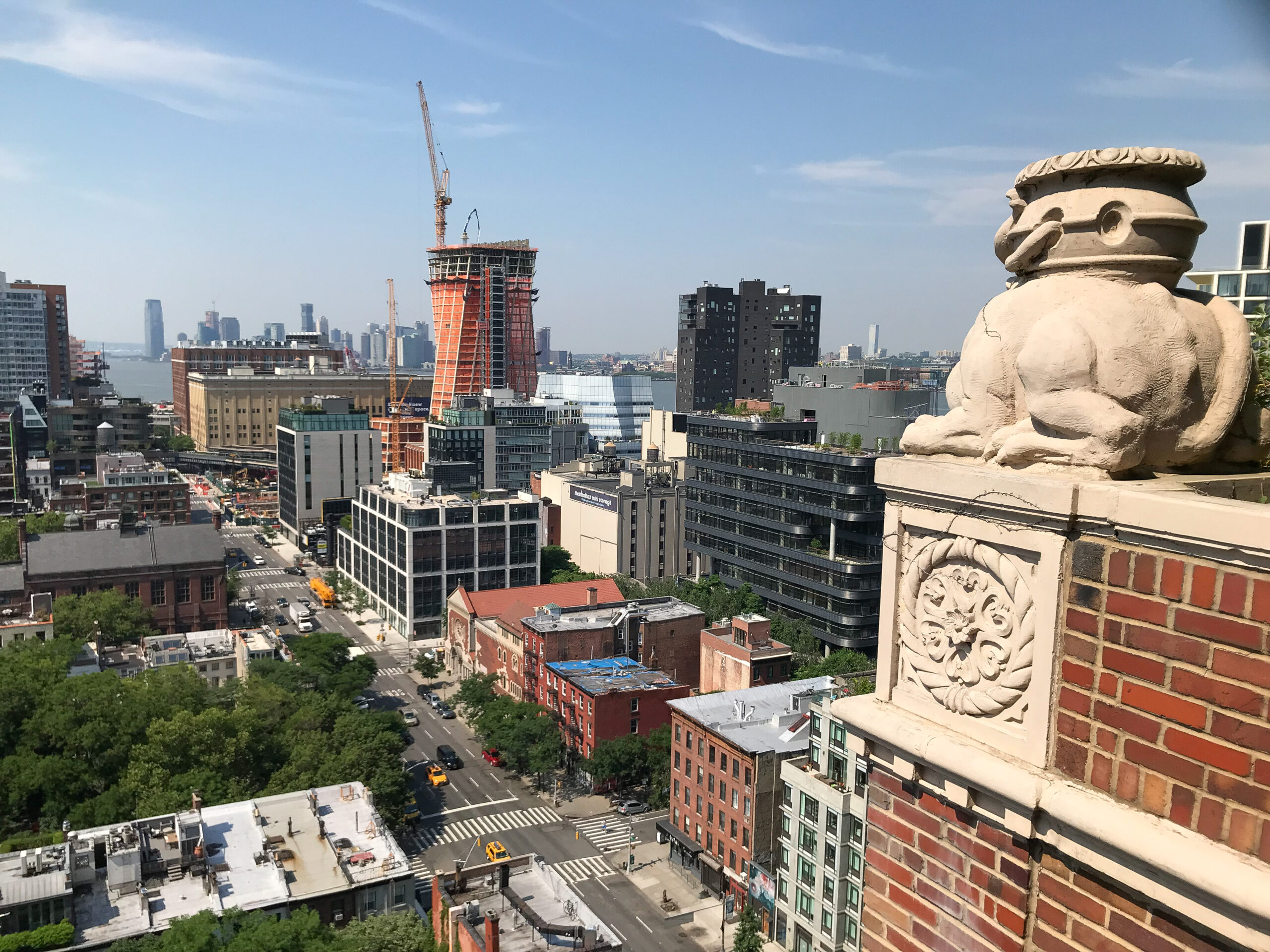
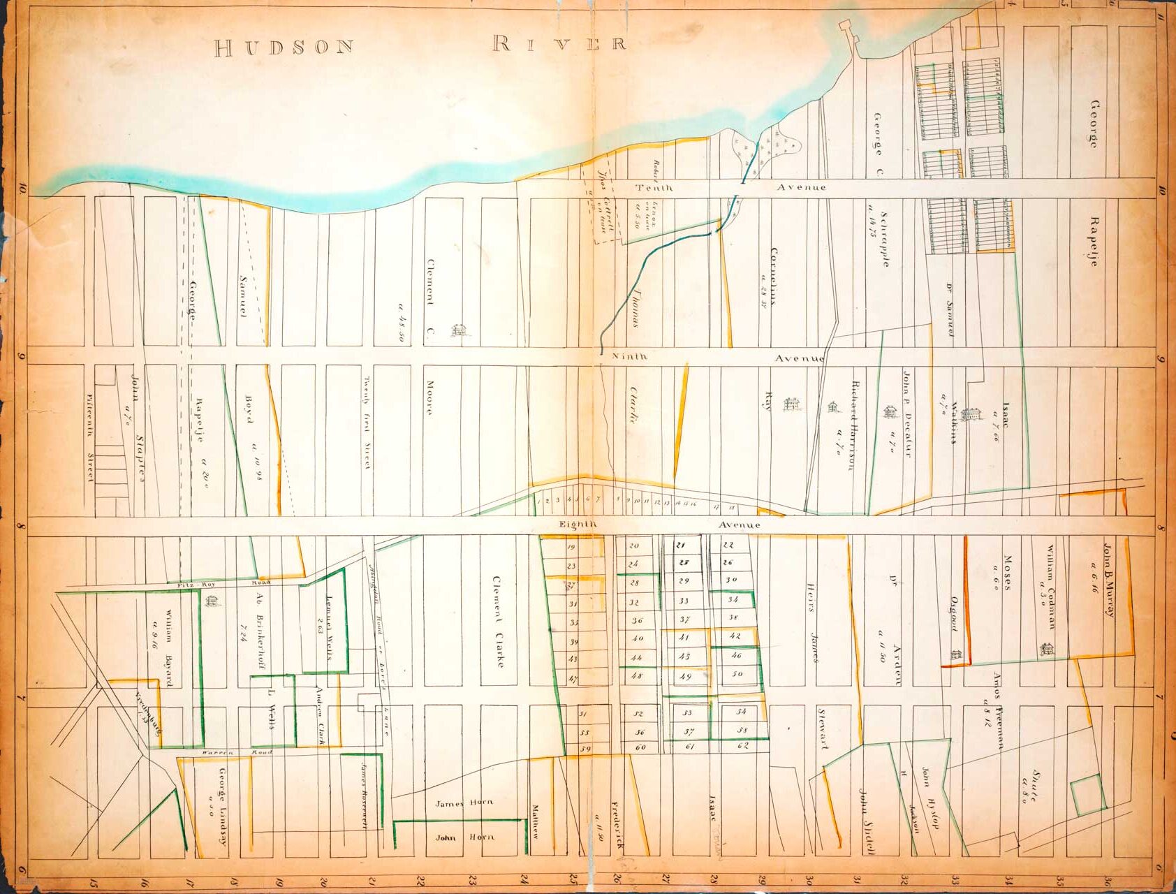
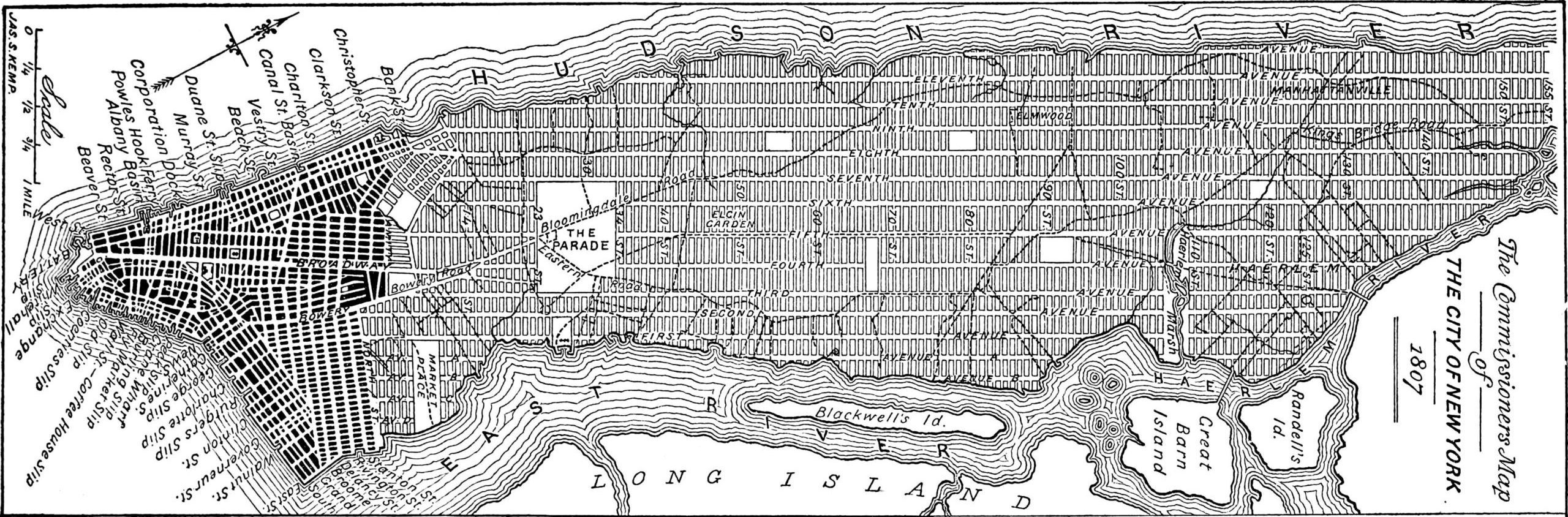
Rooftop view of land once owned by Clement Clark Moore in today’s West Chelsea, shot from the London Terrace Apartments, with gratitude to Jack Macrae, June 2018Farm map by John Randel, Jr. showing how the Manhattan grid would sit in the area of land owned by Clement Clark Moore, 1819-20. Image: New York Public Library, The Lionel Pincus and Princess Firyal Map DivisionAn 1893 redrawing of the 1807 Commissioners Map laying out the Manhattan grid, which was adopted in 1811